Documentation
Bring Maps, Navigation & Routing experience trusted by millions of users worldwide into your apps and solutions.
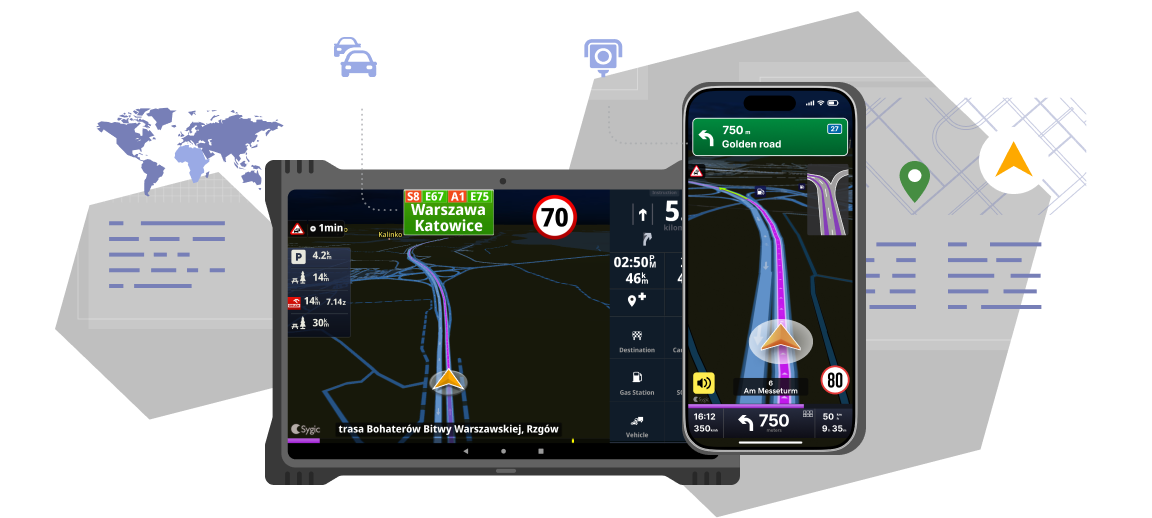

Professional Navigation for Fleets
Out-of-the-box commercial GPS navigation app for integration into fleet management systems, tracking software, and more.

Maps & Navigation SDK
Rapid app development kit to bring online and offline GPS navigation and maps experience into your apps.

Mobile ADAS SDK
Library module for driver scoring & couching, focusing on improving road safety across various verticals.
Please note that this website is intended for enterprise customers and developers only. For individual customers, please visit our support for consumer apps.