English
 Slovensky
 Italiano
 Français
 Español
 Português
 Polski
Geofencing is a service that triggers an event when a mobile device enters or leaves a predefined virtual boundary, which is known as a geofence. Technological progress has allowed geofencing (and location-based services in general) to rise in usage in recent years, but many businesses still don’t know how to put theory into practice and identify potential benefits. In this article, we’ll look at some examples of geofencing used in fleet management across various verticals.
1. Custom speed limits
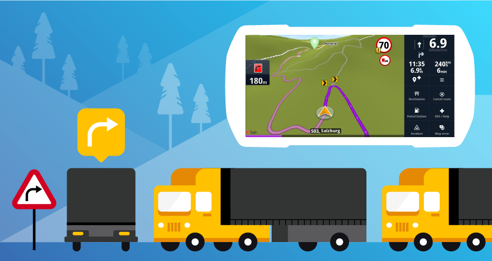
Since heavy trucks are more dangerous to operate than lighter vehicles, some fleets like to use geofencing to define “danger zones” for segments with a steep descent and set custom speed limits for the driver to lower the risk of an accident.
2. Time & GPS stamps, time tracking
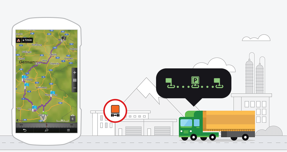
In long-haul and last-mile delivery, an automatic GPS stamp and time stamp can be generated when the driver leaves or enters a yard for loading or unloading, which is useful for report generation.
In field service, the difference between leaving and returning to a home base can be used for precise time tracking, thereby leading to better cost estimation and optimization opportunities.
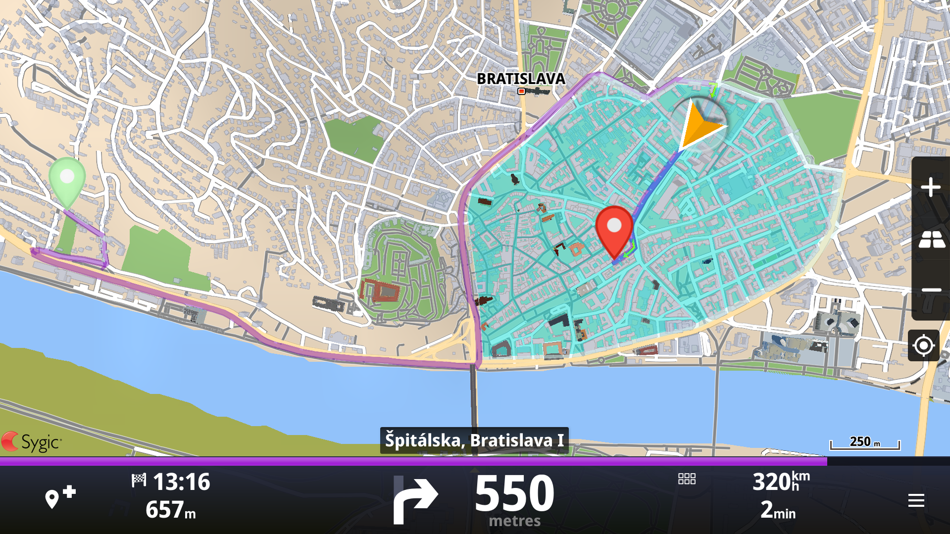
3. Confinement
This approach aims to keep drivers inside an area and is helpful if you have employees with assigned regions – e.g. taxi drivers, street patrols or snowplows. The driver can receive an alert if they leave their territory, thereby making it easier for the fleet to stay organized and relieving the dispatcher.
4. Blast zones, no-go zones, and otherwise dangerous areas
The basic principle of these examples is similar – to send alerts when someone enters an area or to keep people from entering it altogether.
A classic example are blast zones used in mining. The manager planning and overseeing the blast can check whether any vehicles or people are currently inside the area before conducting the explosion.
Police fleets may use geofences to set boundaries around dangerous areas of the city to alert the policemen when entering such a location.
As for total no-go zones, they may be created for safety or security purposes, but natural preserves are also a good example of a no-go zone.
5. Asset protection
This is a more niche example, but companies operating in regions that regularly experience sandstorms can use geofences to protect measuring devices and other field assets from being accidentally damaged during regular sand removal. This asset protection can be interesting for rails, energy companies, and similar businesses.
Making it work for you
By default, geofencing is only a service that recognizes location-based events and sends notifications to various parties. In fleet management, a simple notification service may be useful in some cases, but others may require visualizing a geofence on a map or adding custom logic (as in the custom speed limits example).
Geofences are a part of Sygic Professional Navigation with SDK. If your fleet management solution or telematics solution has integrated navigation for commercial vehicles, you may appreciate the option to extend it further with geofences or other geo features.